Teton County Vegetation and Land Cover Data
Updated 2024 Teton County Vegetation and Land Cover Dataset
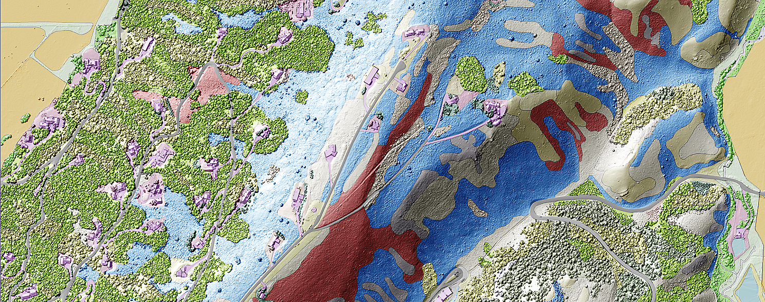
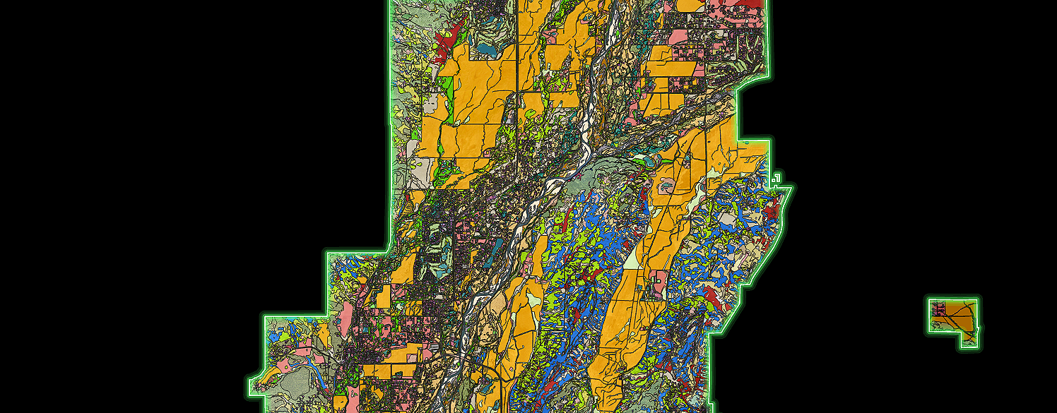
Teton Conservation District (TCD), in partnership with Cogan Technology, Inc. (CTI), has released a new and improved version of its vegetation and land cover dataset, covering more than 87,000 acres of private land in Teton County, WY. CTI created the original, widely used land cover dataset for Teton County, released in 2013. Planners and GIS users have long envisioned an update at roughly 10-year intervals. Using high-resolution imagery from 2024 and on-the-ground verification surveys, the CTI team updated and improved the data under contract with TCD.
The dataset is free and viewable on the Teton County Mapserver under Planning and Building Layers —> Planning and Building Background Layers . It is also downloadable from Teton County GIS File Archives. The Final Report can be accessed here.
The original 2013 dataset was based on interpretation of aerial imagery from 2011 (1-foot resolution) and 2012 (1-meter resolution). CTI improved the accuracy of the new dataset by fixing labeling errors discovered during field verification and accuracy assessment, and by using 3-inch resolution aerial imagery from 2024. TCD also acquired, processed, and appended height and slope metrics derived from high-resolution lidar data it contracted in 2021. In practical terms, users can now click on a land cover polygon, such as an aspen stand or a structure, and see metrics like maximum height and average slope.
Project contact: Morgan William Graham (morgan<at>tetonconservation.org) 307-733-2110