
Air Quality
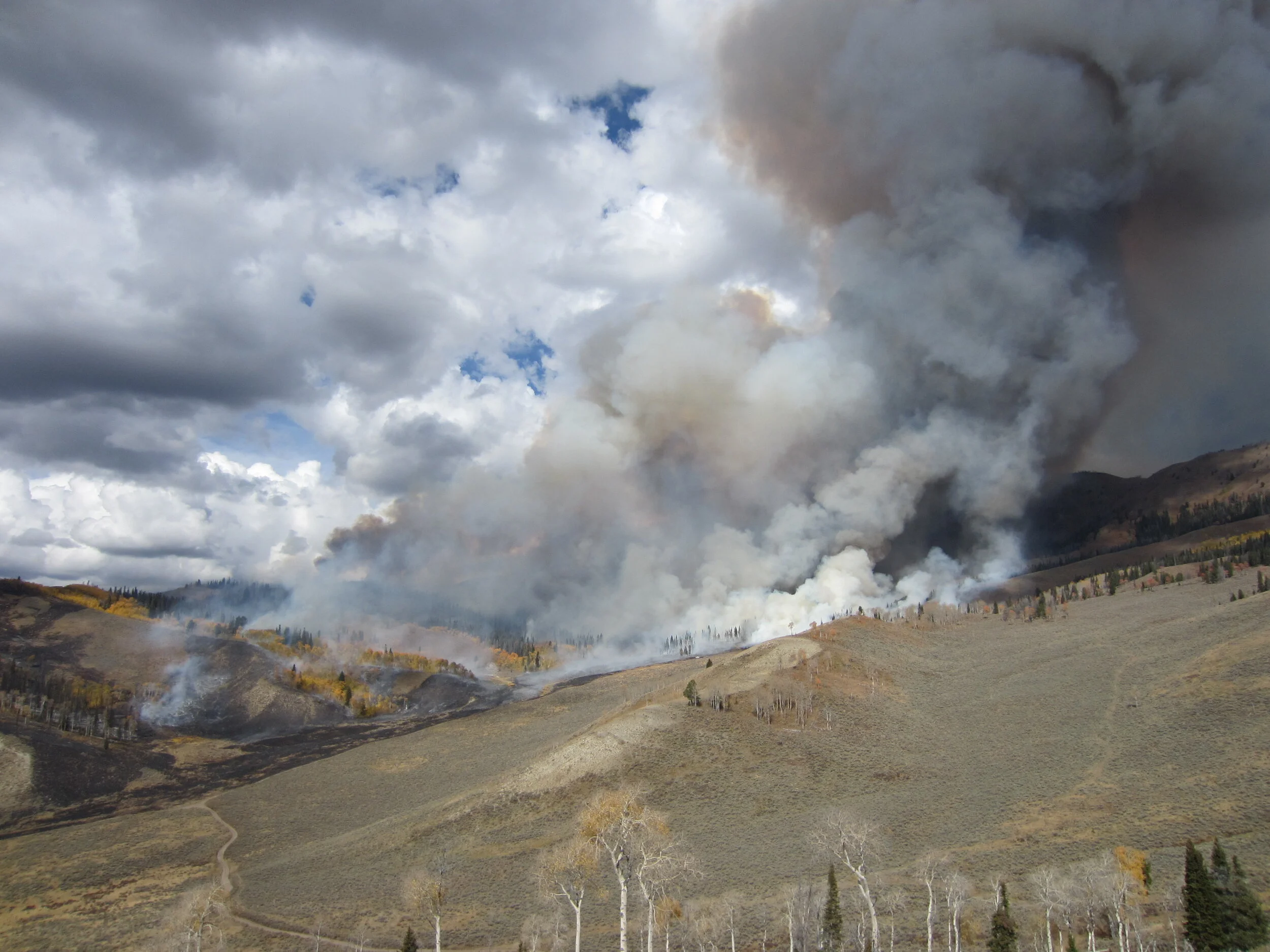
Wildfire and Air Quality
Wildfires across the west can bring haze and smoke to Teton County / Jackson Hole in the summer and fall months. Particulate matter (PM) is the main health hazard attributed to wildfire smoke. These microscopic particles can irritate eyes and respiratory systems and can aggravate asthma and chronic heart and lung diseases.
AIR QUALITY DATA for Teton County, Wyoming
The Environmental Protection Agency’s (EPA) U.S. Air Quality Index (AQI) uses several hours of past data and an algorithm to show current air quality conditions. Refer to the legend below to match the current AQI color with associated ‘level of concern.’ Click here to view this data in more detail on the EPA’s AirNow website.
The U.S. Air Quality Index (AQI) is EPA’s index for reporting air quality. Click on the table above to expand.
Wyoming Department of Environmental Quality Real-Time Particulate Matter Data
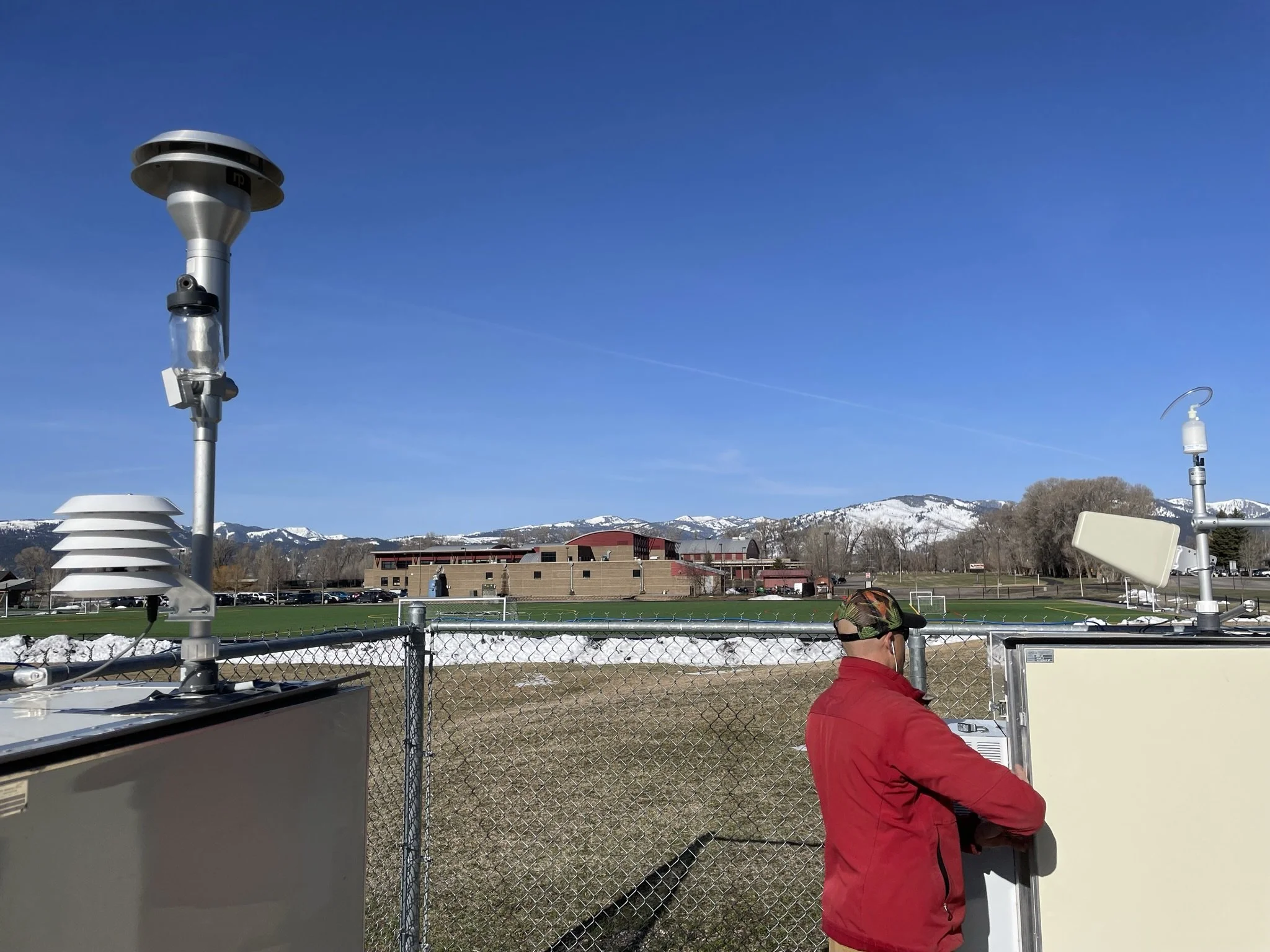
Robb Sgroi, Land Resources Specialist for Teton Conservation District, checks on the PM instruments on High School Road.
With assistance from Teton Conservation District, the Wyoming Department of Environmental Quality converted their particulate matter (PM) measurement equipment located on High School Road to real-time data collection equipment in early 2021.
Click here to access the real-time information on the Wyoming Department of Environmental Quality’s website. On their webpage, select the ‘Sites’ drop-down menu and then select ‘Jackson SLAMS’. An alternate way to access the same information is under ‘Layers’ at the top of the map, select either ‘24 Hour PM10 Rolling Average’ or ‘24 Hour PM2.5 Rolling Average.’ To access Wyoming Department of Environmental Quality reports and data from these instruments, click here.
Other Air Quality Resources
Here are some other resources when making decisions about work, exercise, and exposure:
The EPA’s Air Now website offers a Fire and Smoke Map. Zoom to the Jackson area and click on the square see the current estimated Air Quality Index (AQI) value.
Also through the EPA, you can find the Interactive Map of Air Quality (AQI) to see information from nearby areas to estimate local air quality.
See the EPA’s Activity Guides to learn ways to protect your health when the AQI reaches unhealthy levels.
mobile air quality monitoring station

Robb Sgroi checks on the instruments at the mobile air quality monitoring station.
The Wyoming Department of Environmental Quality’s Air Quality Division placed one of their three mobile air quality monitoring stations on the National Elk Refuge from August 2018 to October 2019.
In addition to measuring standard meteorological parameters like wind speed and direction, temperature, precipitation, and humidity, the mobile station also measured ozone, oxides of nitrogen, sulfur dioxide, hydrocarbons, and particulate matter .
Teton Conservation District served as the site operator for the station. This involved repairs, maintenance, and performing monthly instrument checks. The site was subject to challenges including power surges, instrument failures, and leaking gas lines. We worked with the Wyoming Department of Environmental Quality to diagnose and repair problems with software and hardware. To learn more about Teton Conservation District’s regular checks on the station, read this blog entry. To access Wyoming Department of Environmental Quality reports and data from this project, click here.